R383221 Map No. R-3711-014C0-00500-000 2.44 Acres Gross (2.3 Acres Net) M/L: Being Lot 72, Block 81, Klamath Falls Forest Estates, Highway 66, Plat 4, Klamath County, Oregon. *** New Lower 2018 Price! ***
Purchasing Terms
$15,000 cash or $17,000 finance (NO CREDIT CHECK, NO DOCUMENT FEES & WE’LL NEGOTIATE!). If financed, $500 down and $221.71/mo. (12%, 12 years) Or, if 12% and 20 years, with $500 down, payment is $186.68/month. No prepayment penalty. Three years to cash out and get 10% off what you owe at the time. A year to go look if you buy sight unseen and switch equity to another lot if you are not 100% happy.
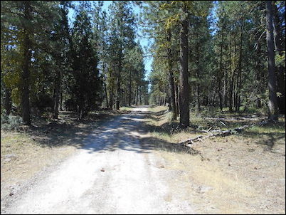
Pictures of the Land
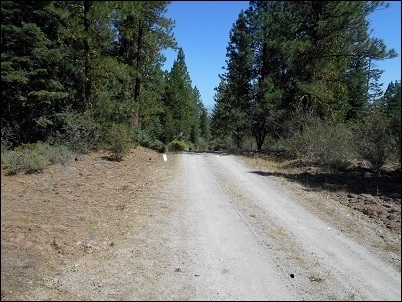
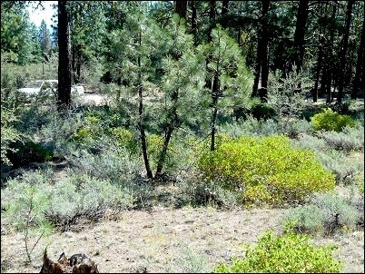
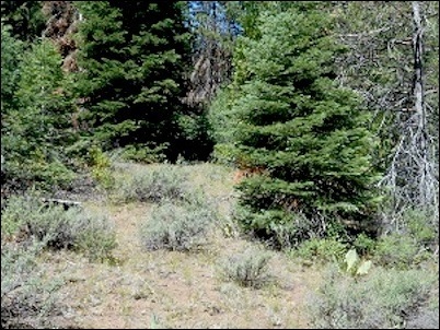
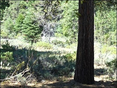
Property Details
Beautifully wooded parcel, on Bly Mountain. Ponderosa, Cedar, White Fir.
Some slope south to north.
This is really a nice parcel if you are looking for trees and privacy.
The parcel is 200 feet wide in the front and back, and 500 feet deep.
This land sits on Verio Drive, just off a major access road called Kingfisher. It is in a unit called Klamath Falls Forest Estates, just off highway 140, east of Klamath Falls.
This unit has a road association that runs about $30/year. They plow major access roads in winter and grade and add rock in summer.
Directions
From Klamath Falls (Faster if you’re coming from the Medford area.)
- From Klamath Falls travel east on Highway 140 towards Lakeview for approximately 24.7 miles.
- Turn right onto Kingfisher Dr. and drive for about 2.2 miles.
- Make a slight left off of Kingfisher Dr. onto Vireo Dr. and drive for about 0.3 miles. The property will be the seventh lot of the right side of Vireo Dr.
From Chiloquin (Faster if you’re traveling south on Highway 97.)
- From Chiloquin, drive southeast along Sprague River Rd. for approximately 33.1 miles.
- Turn right onto Highway 140 towards Klamath and drive approximately 3.3 miles.
- Turn left onto Polar Bear Ln. and drive for about 0.6 miles.
- Make a slight right toward Kingfisher Dr. and drive for about 0.3 miles.
- Turn right onto Yak Ln. and drive for about 0.3 miles.
- Turn left onto Vireo Dr. and drive for about 0.3 miles. This property will be the 6th lot on the right side of Vireo Dr.
Location Information
GPS: 42.359860, -121.378968 (If you tap on this link while using a smartphone, it may try to give you directions to the lot instead of showing you where it is on a map. If this happens, simply copy and paste the GPS coordinates into Google Maps on your phone’s web browser.)
Contact Information
Michael Long – (503) 680-1144 – oregonlandman@gmail.com
Road Association Dues
Unit four has a Road Association that upgrades and maintains roads in the unit. They also plow major access roads in winter. 2018 cost was $30.76. Due each November for the next fiscal year.
Well Information
Note: Some people buy our lots and decide that they would like to have a full time water source at their property. The lots that we sell are undeveloped and don’t currently have water wells but you can inquire about having a well drilled by clicking here.


