ALMOST 10 ACRES!
Very remote lot that has been surveyed
Perfect for an off grid lifestyle with great natural resources
9.86 Acres Klamath County, Oregon
Purchasing Terms
$19,000 cash or $22,500 finance (NO CREDIT CHECK & WE’LL NEGOTIATE!). If financed, $2,000 down and $275.00/mo (12%, 12 years). No prepayment penalty. Three years to cash out and get 10% off what you owe at the time. A year to go look if you buy sight unseen and switch equity to another lot if you are not 100% happy.
Pictures of the Land
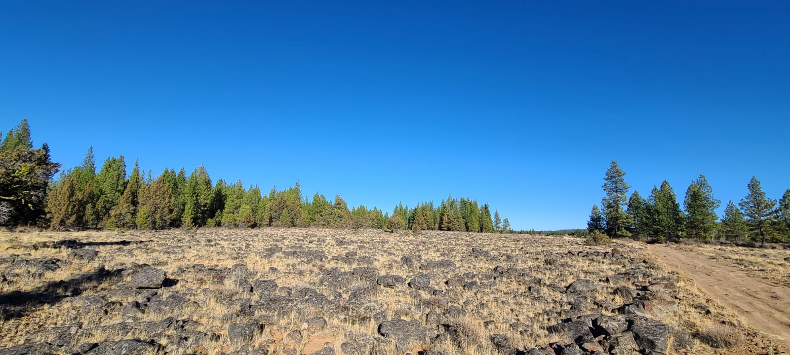

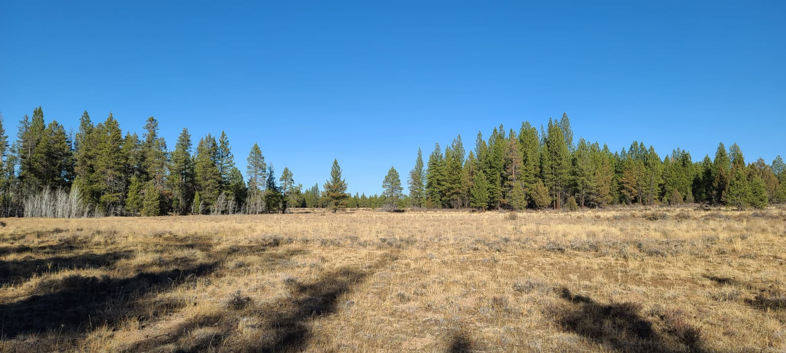
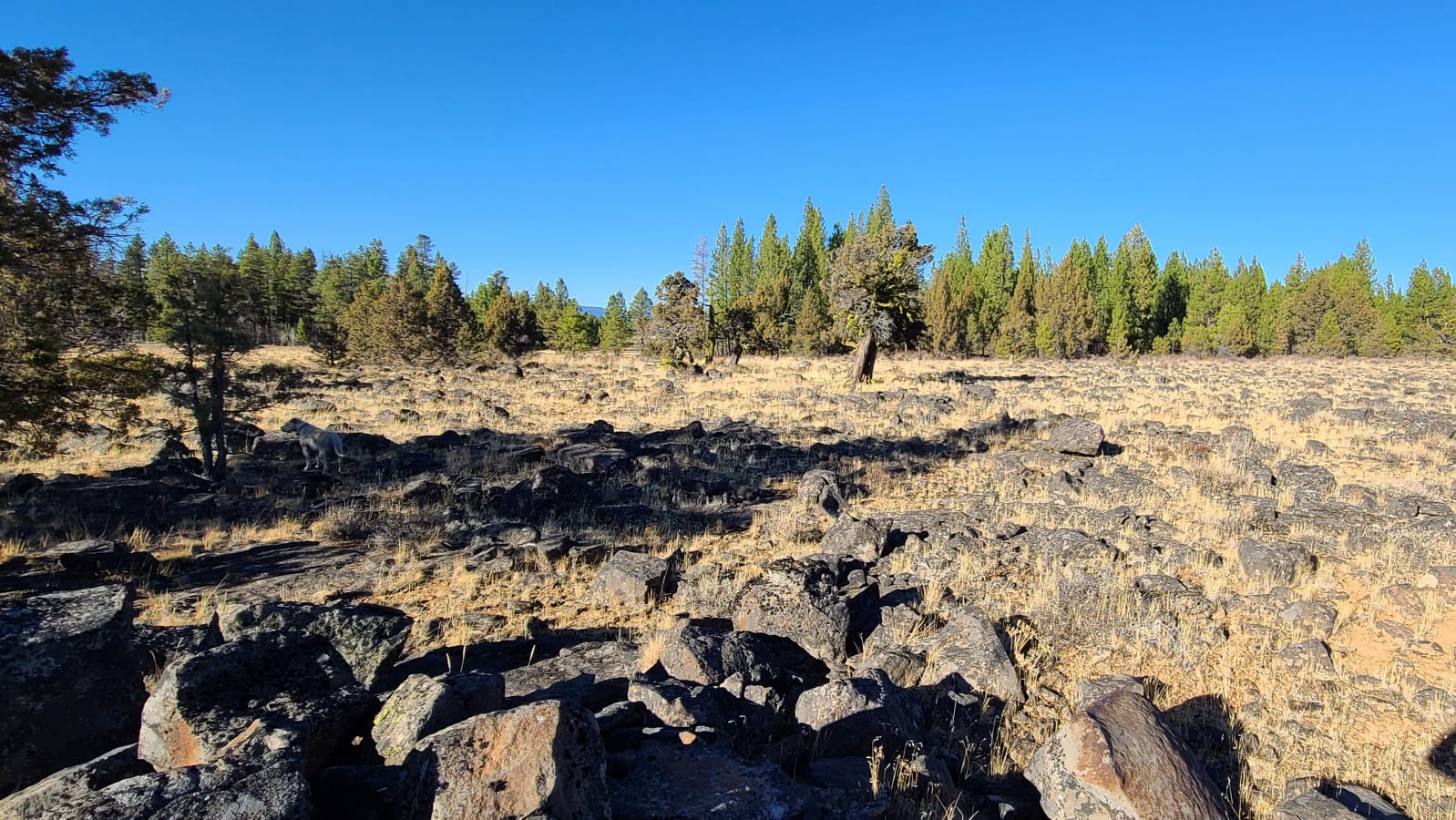
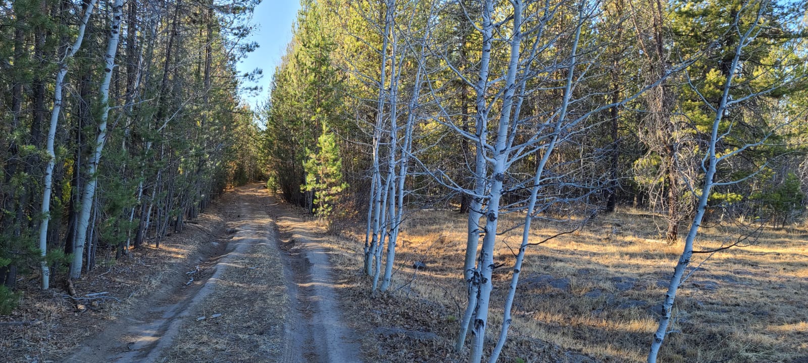
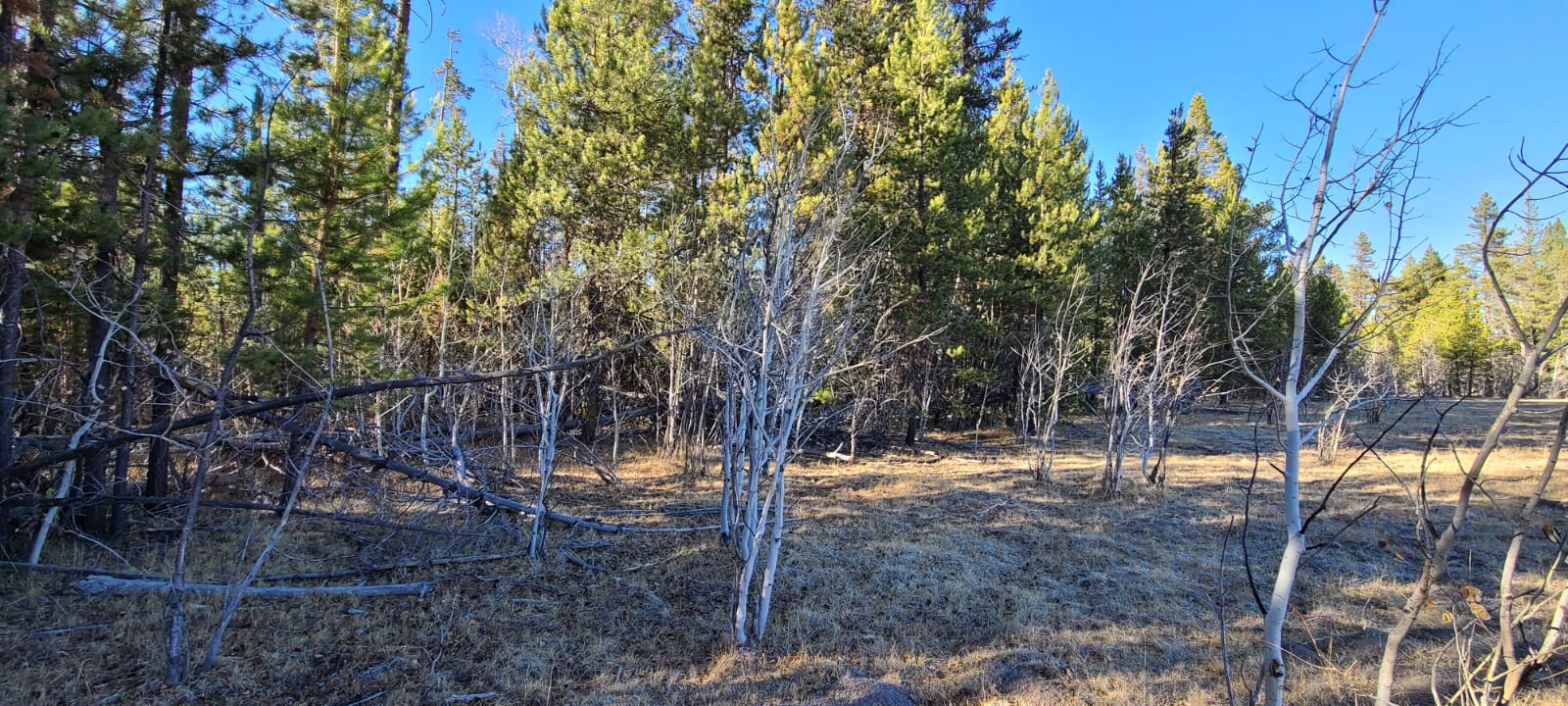
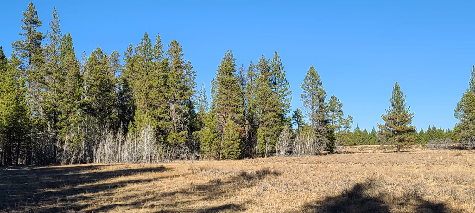

Here is a quick tour of our Affordable Oregon Land for Sale in Klamath Falls.
Property Details
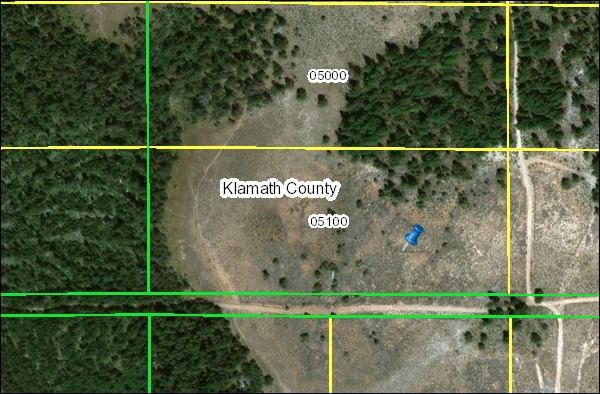
County Info: R182956 Map No:R-3311-03300-05100-000 9.86 Acres M/L being: Southerly 415′ of the Easterly 1,035′ of Lot 10, Block 7, Klamath Falls Forest Estates, Sycan Unit, Klamath County, Oregon.
Very remote. North of the town of Beatty, Oregon, which is east Klamath Falls. Level. Mostly open. Some trees on the west side and north boundary, near the east side.
Former owner had to give the land back due to a heart attack and health. He just paid $900 for a survey. I can provide the buyer with copies of that paperwork.
TONS OF SURFACE ROCKS! How about a rock business? Maybe create fences, foundations, or invest in a rock crusher for gravel material?
Maybe grow a garden between the rocks? This area looks like it might get a bit of moisture from the snow run off.
Directions:
From Klamath Falls (Faster if you’re coming from the Medford area.)
Note: This area is remote. I suggest you do not try to find it on your own with the GPS but rather set up an appointment. Give me a call, I’ll set you up with a buyer that lives close. (503) 680-1144
- From Klamath Falls, travel east on Highway 140 towards Lakeview for approximately 35.1 miles.
- Turn left onto Godow Spring Rd. and drive for about 5.1 miles
- When you reach the end of Godow Spring Rd it becomes NF-3462. Continue driving on NF-3462 for about 15.3 miles.
- Turn right onto Bull Pine Rd. and drive for about 1.2 miles.
- Turn left onto White Oak Way. The property is the first one on the left side of White Oak Way. It’s south border is Bull Pine Rd and it’s east border is White Oak Way.
From Chiloquin (Faster if you’re traveling south on Highway 97.)
- From Chiloquin, drive southeast along Sprague River Rd. for approximately 33.1 miles.
- Turn left onto Highway 14o and drive for about 4.9 miles.
- Turn left onto Godow Spring Rd. and drive for about 5.1 miles
- When you reach the end of Godow Spring Rd it becomes NF-3462. Continue driving on NF-3462 for about 15.3 miles.
- Turn right onto Bull Pine Rd. and drive for about 1.2 miles.
- Turn left onto White Oak Way. The property is the first one on the left side of White Oak Way. It’s south border is Bull Pine Rd and it’s east border is White Oak Way.
Location Information
GPS: 42.662642, -121.189290 (This GPS is on the SE corner of the parcel, as it sits on the NW corner of Bull Pine Road and White Oak Way.) (If you tap on this link while using a smartphone, it may try to give you directions to the lot instead of showing you where it is on a map. If this happens, simply copy and paste the GPS coordinates into Google Maps on your phone’s web browser.)
Contact Information
Michael Long (503) 680-1144 oregonlandman@gmail.com
Well Information
Note: Some people buy our lots and decide that they would like to have a full time water source at their property. The lots that we sell are undeveloped and don’t currently have water wells but you can inquire about having a well drilled by clicking here.


