


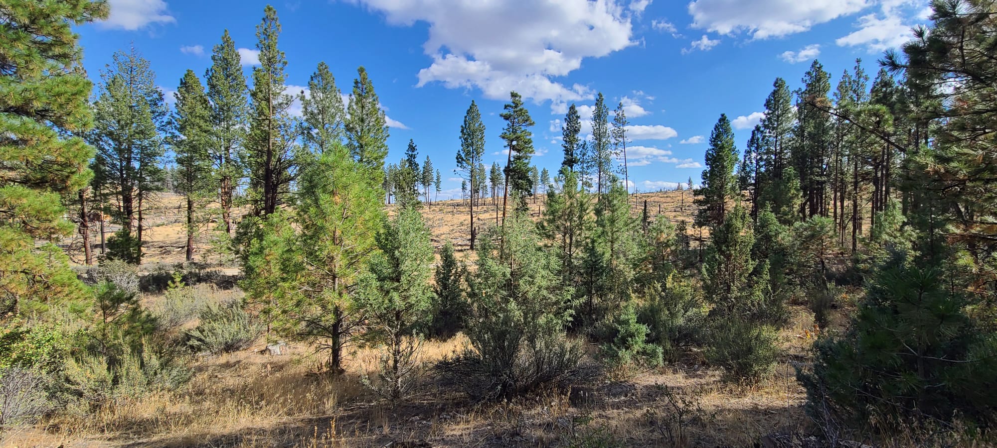
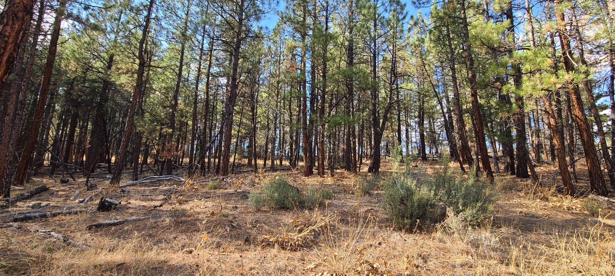
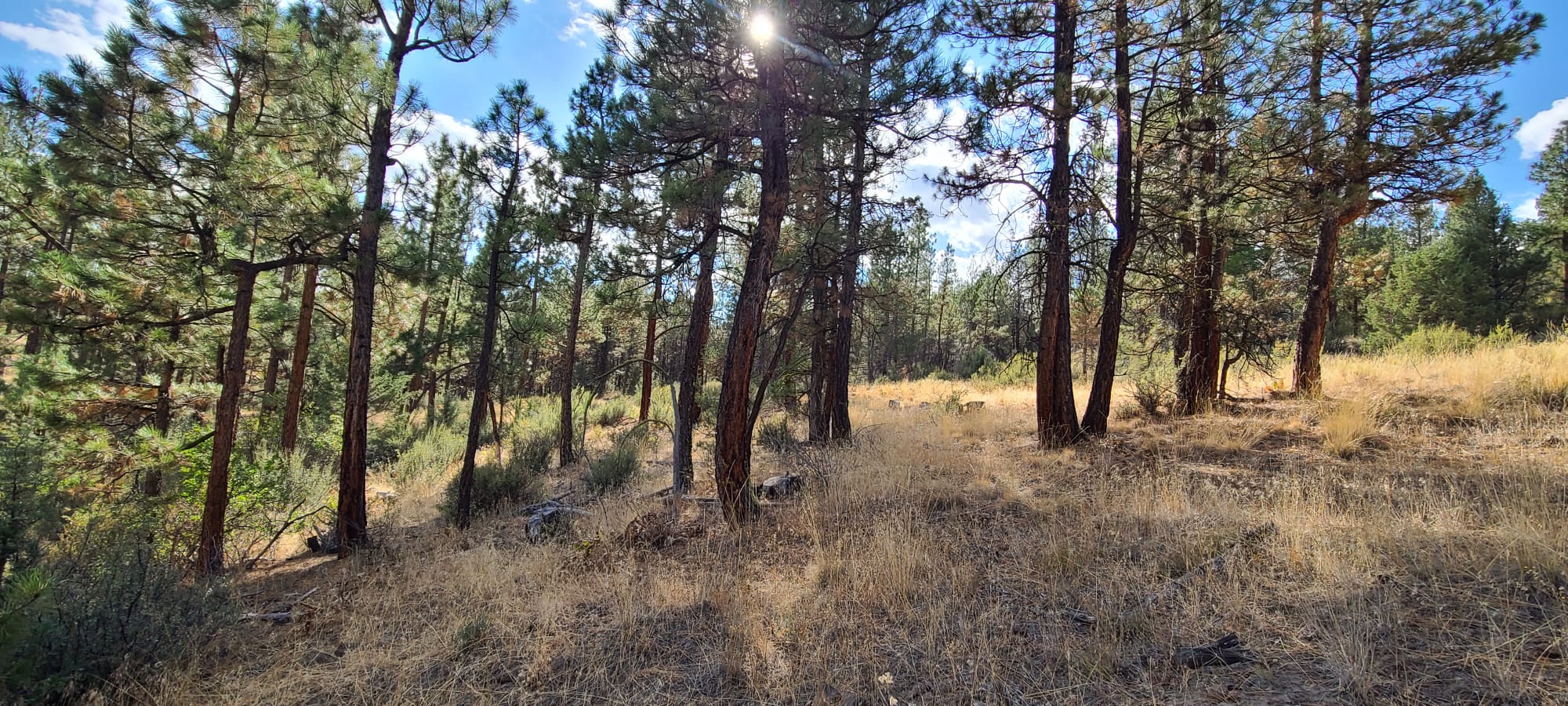
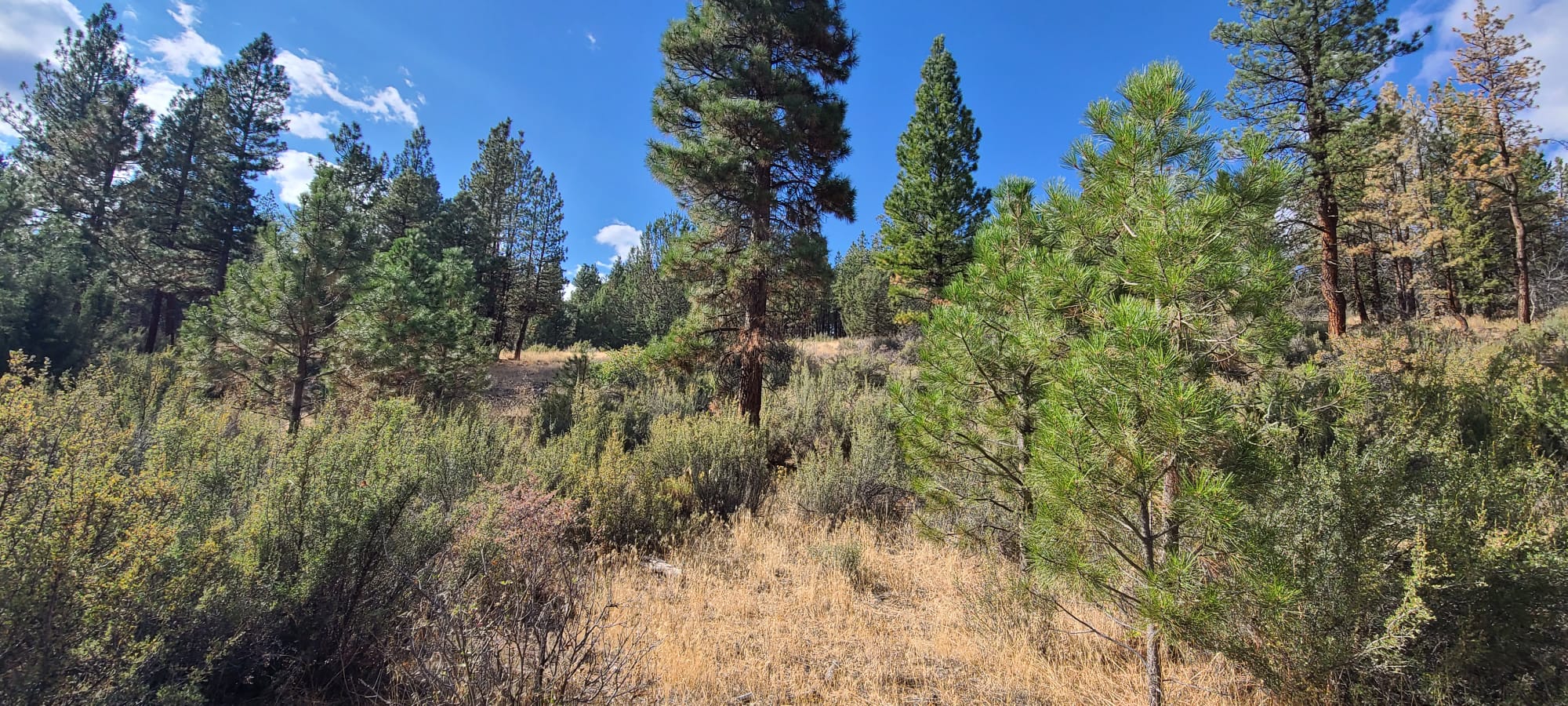
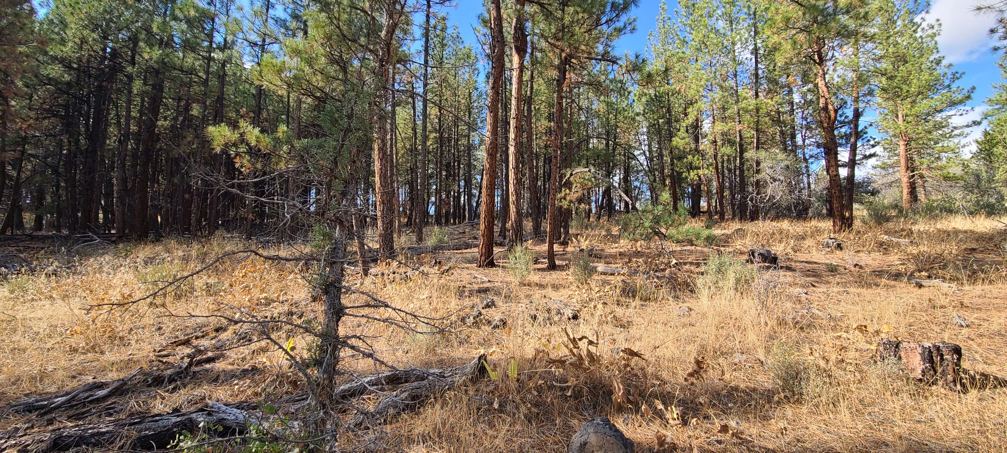
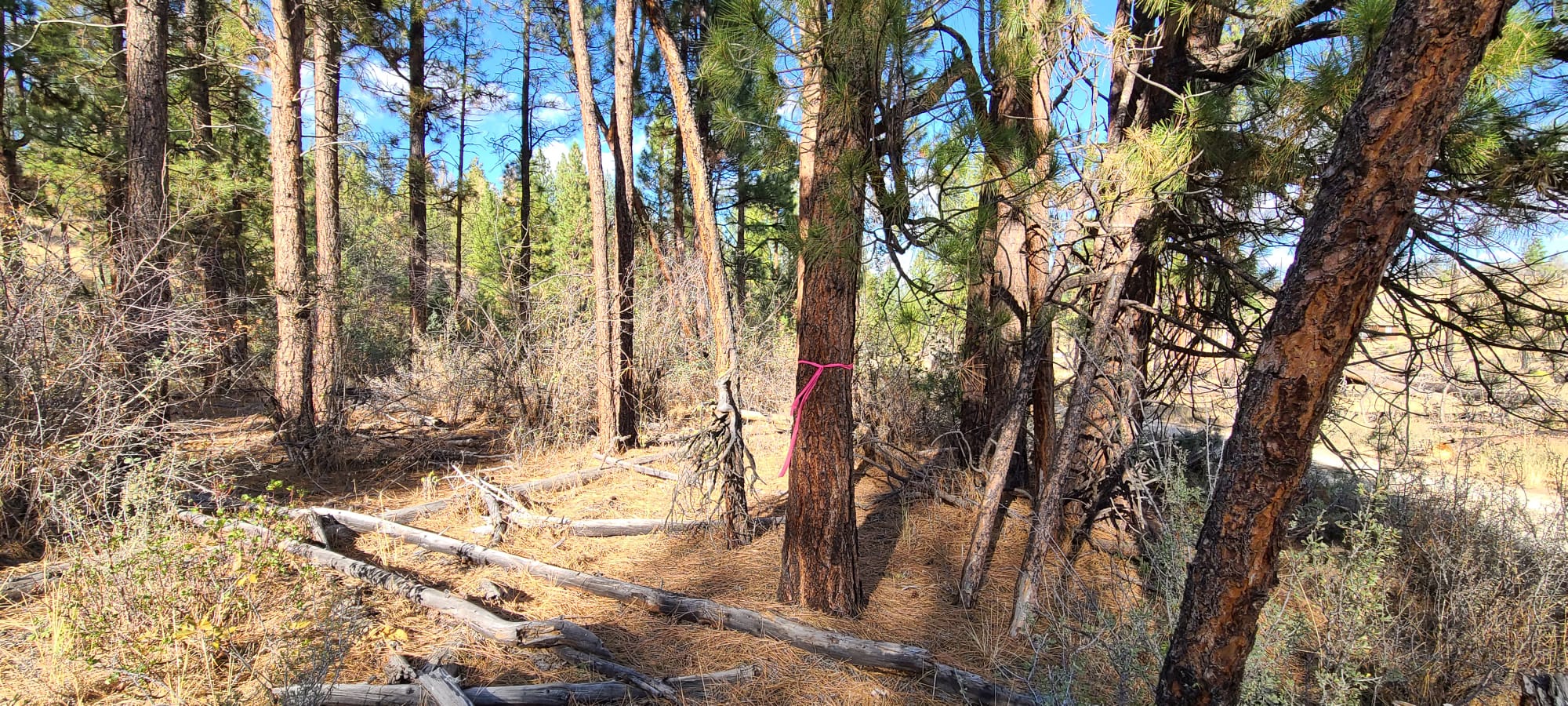
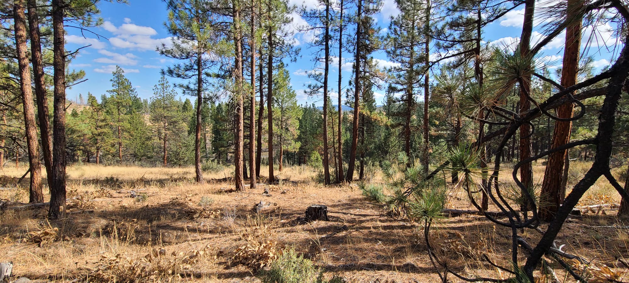
Scattered Tree Coverage
Open space with scatted surface rocks
2.32 Acres Klamath County, Oregon
Purchasing Terms
$15,000 cash or $18,500 finance. If financed, $1000 down at $235.00/mo. at 12%, 12 years. No prepayment penalty. Three years to pay off and get 10% off remaining balance.
If bought sight unseen, you have one year option to switch to another parcel if you are not 100% happy with the land when you view it.
(NO CREDIT CHECK & WE’LL NEGOTIATE!).
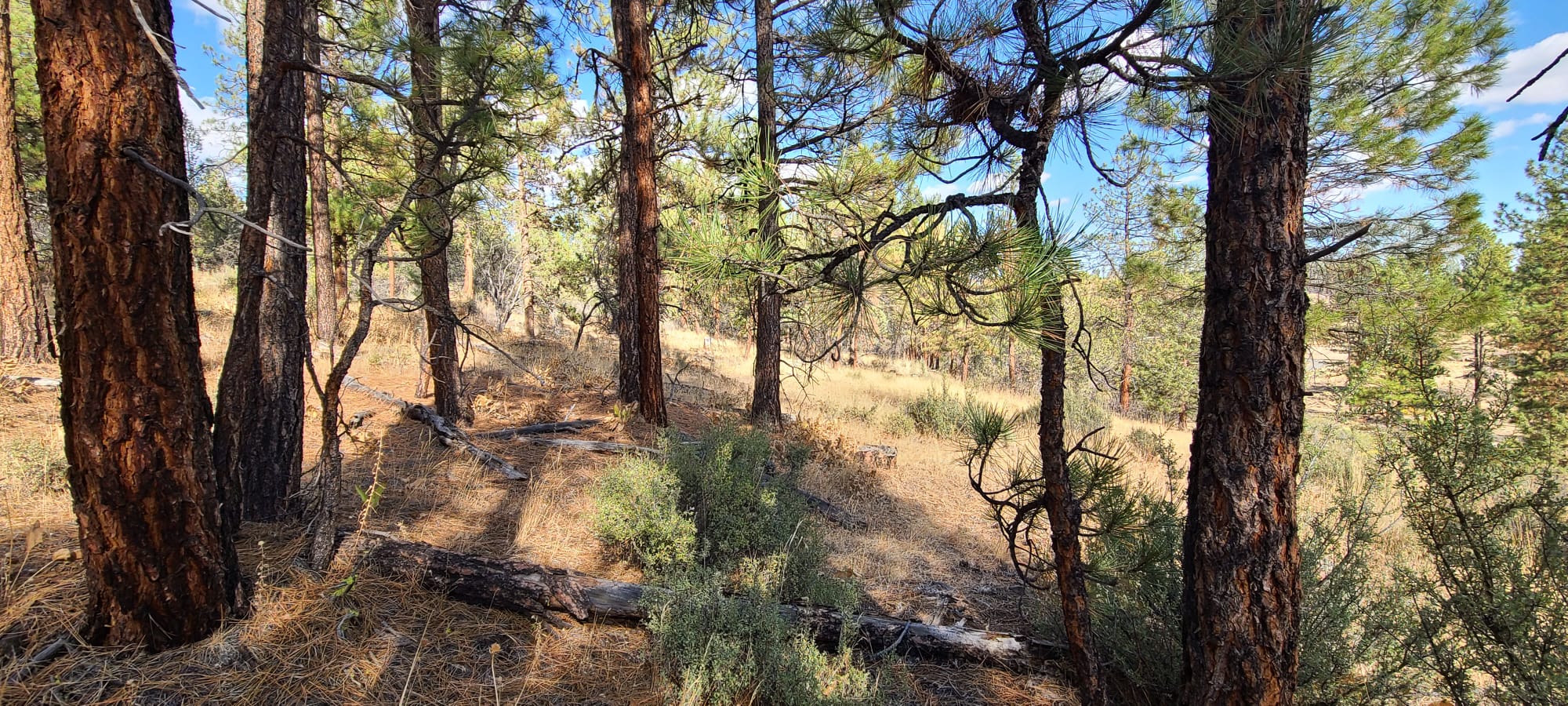
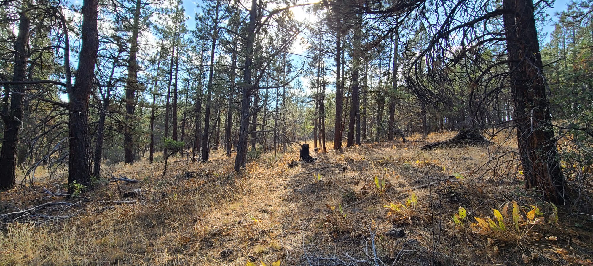
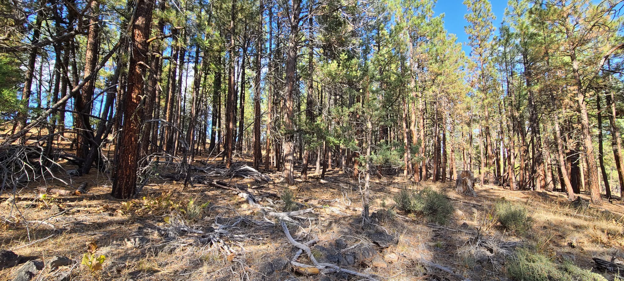
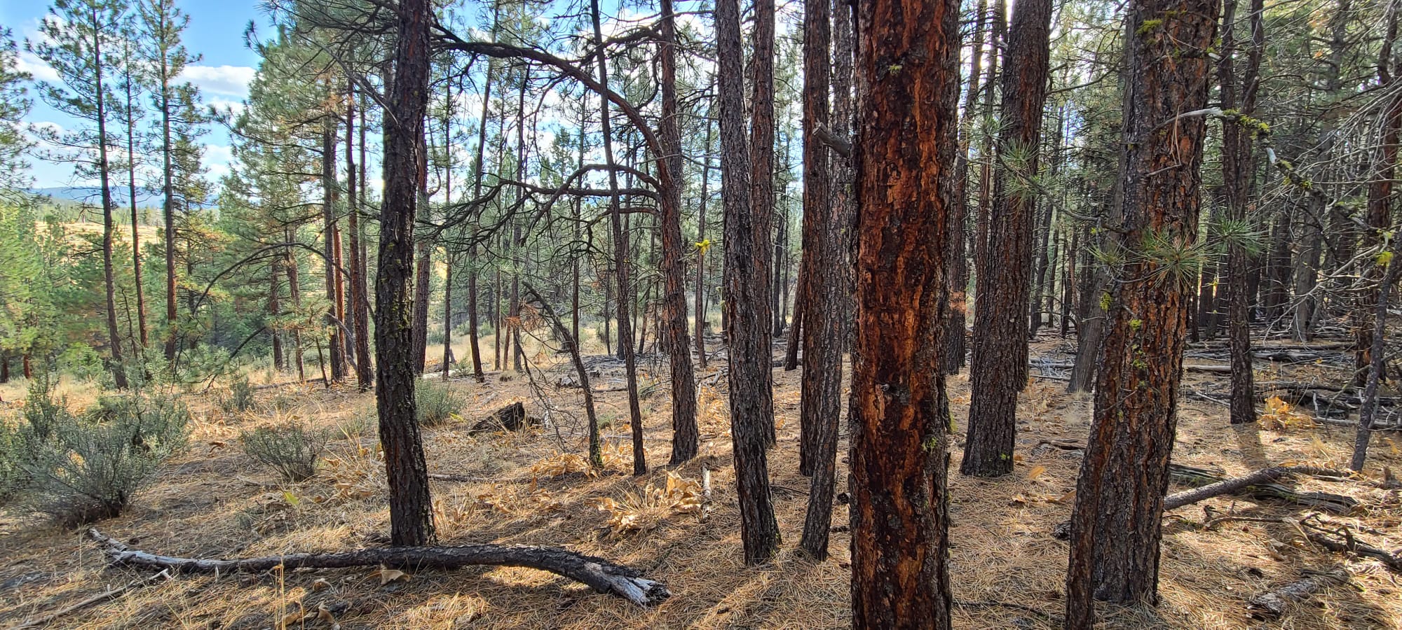
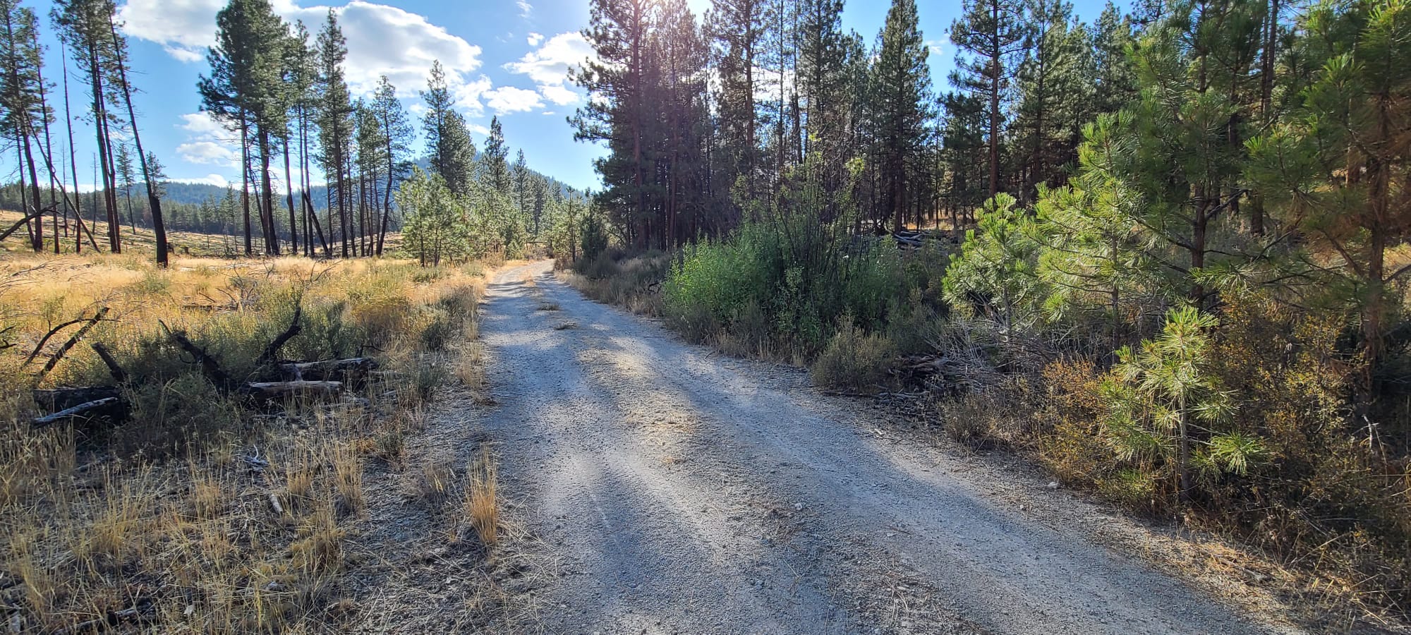
Pictures of the Land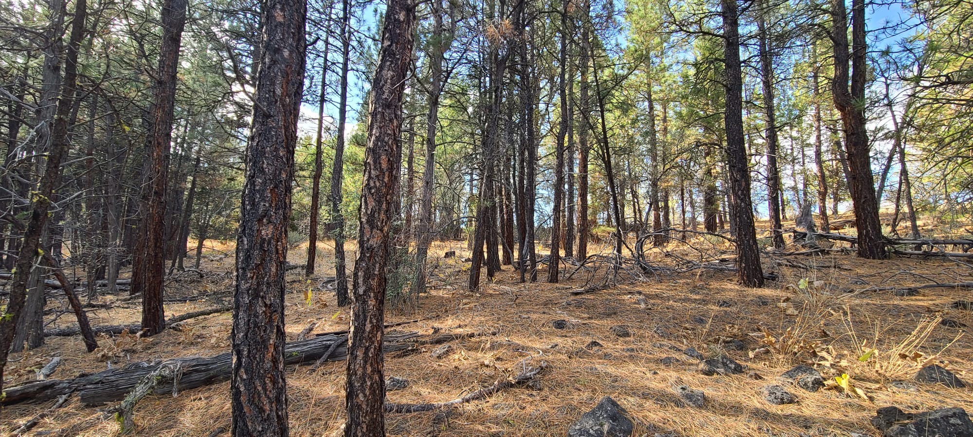

Property Details
Unique ID: R297002 Map Tax Lot: 3513 -033A0-03200-000 Size: 2.32 Acres
Location: This charming parcel is located in the First Addition to Ferguson Mountain Pines, Klamath County. It’s nestled north of the quaint town of Beatty, Oregon, and east of Klamath Falls, offering a serene setting amidst nature.
Terrain & Features: The lot is beautifully wooded at the back, with scattered trees at the front and an open area in the middle that’s perfect for a home and perhaps a garden. The property sits on S. Packsaddle Road, at an elevation of 4,669 feet in the Ferguson Mountain Pines area. It features a slight upslope from the road and a small roadside ditch on the frontage, which would require a culvert for the driveway.
Privacy & Space: This remote parcel offers deeded road access and a sense of privacy. Its spacious feel is enhanced by the scattered trees and few surface rocks. With approximately 100 acres of agricultural-zoned land behind and to the west of this lot, you can rest assured that your view will remain unobstructed.
Zoning & Permits: The land is zoned for a single home. Camping is permitted for up to 21 days every six months, or you can build a home in accordance with Klamath County codes.
Investment Opportunity: This parcel presents a unique opportunity for those seeking a tranquil country lifestyle. With its distinctive features and strategic location, it’s a highly desirable property. Don’t miss your opportunity to own this cheap Oregon land for sale.
Directions
Driving Directions from Klamath Falls
Start: Begin on S 7th St, heading southeast towards OR-39 BUS N.
- First Leg: Stay on OR-39 BUS N. Make a left at the first cross street and another left to stay on OR-39 BUS N.
- Second Leg: Turn right onto US-97 BUS N. Continue onto US-97 N for approximately 23.6 miles.
- Third Leg: Turn right onto OR-422 W/Chiloquin Blvd. Continue for 0.9 miles, then turn right onto W Chocktoot St. After 0.4 miles, turn left onto N 1st Ave and continue onto Sprague River Rd for 23.1 miles.
- Fourth Leg: Turn left onto Drews Rd and continue for 13.0 miles. Turn right onto Godowa Springs Rd. After 0.5 miles, turn left onto Sycan Rd.
- Fifth Leg: After 4.0 miles on Sycan Rd, turn right onto 5 Mile Creek Rd. Continue straight for 0.6 miles, then turn right onto Vinson Way.
- Final Leg: After 0.1 miles on Vinson Way, turn left onto S Packsaddle Cir. Your destination will be on the right.
Location Information
(If you tap on this link while using a smartphone, it may try to give you directions to the lot instead of showing you where it is on a map. If this happens, simply copy and paste the GPS coordinates into Google Maps on your phone’s web browser.)
Contact Information
Michael Long – (503) 680-1144 – oregonlandman@gmail.com
Well Information
Note: Some people buy our lots and decide that they would like to have a full-time water source at their property. The lots that we sell are undeveloped and don’t currently have water wells but you can inquire about having a well drilled by clicking here.
